Sustainable Infrastructure
Conservation and Development Planning
Sustainable infrastructure is a strategically planned and managed network of natural lands, working landscapes, and other open spaces that conserves ecosystem values and functions and provides associated benefits to human populations. (Source: Benedict & McMahon 2006)
When thinking of infrastructure, one pictures roads, buildings, dams, airports and other man-made constructions that support development. We refer to these constructions as "gray infrastructure."
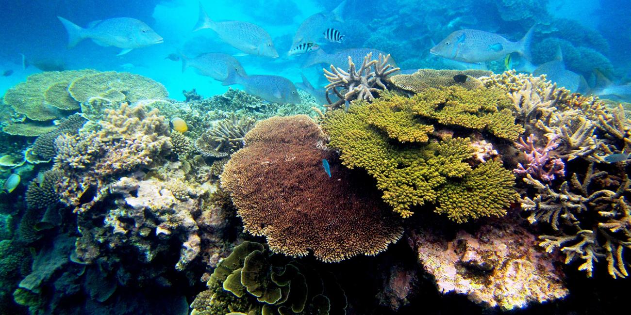
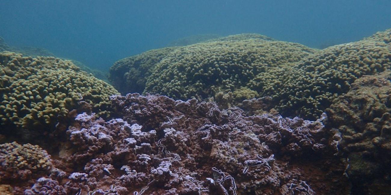
When strategically planned and managed, sustainable infrastructure maintains enough biodiversity to allow ecosystems to remain healthy and functioning, providing society with goods and services important to the economy, such as clean water and air, carbon storage and pollination. Healthy ecosystems are more resilient and thus help reduce the impacts of climate change on society, and protect against environmental disasters such as floods.
Sustainable infrastructure is good for both people and nature. There is growing evidence that investing in sustainable infrastructure pays off in the long term and is complementary to traditional gray infrastructure investment. Sustainable infrastructure is sometimes more cost-effective than gray infrastructure, and creates both high- and low-skilled jobs.
What is Sustainable Infrastructure Planning?
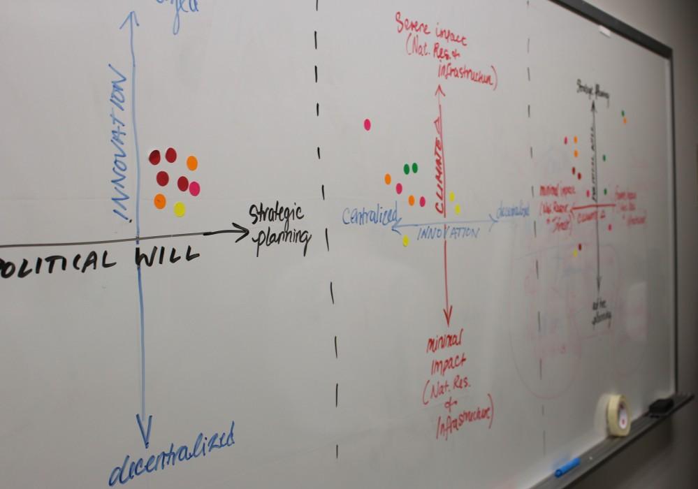
Sustainable Infrastructure Planning is a holistic approach that promotes the joint planning of gray and green infrastructure. Sustainable infrastructure planning breaks down the traditional segregation, and often competition, between conservation and development planning. It takes into account the interactions between land-use activities, such as industry, transportation, agriculture and protection of biodiversity; and identifies synergies and win-win solutions.
Sustainable Infrastructure Planning can be done on multiple scales, from the neighborhood level to an entire country, and always involves strategic spatial planning and the analysis of past, current and future land uses. This analysis allows for:
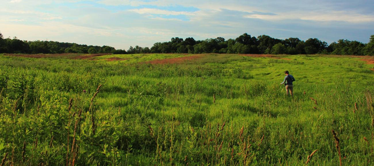
- Locating the areas that are the most important to keep the ecosystem functioning. These usually form a network of "core areas," such as parks or reserves, necessary to support healthy, biodiverse ecosystems, and "corridors," such as streams and accompanying forest cover, that provide connections to help animals and plants move across the landscape.
- Suggesting a protection or restoration plan for the cores and corridors that are, or will be, the most threatened by grey infrastructure development.
- Guiding gray infrastructure to avoid the disruption of the local ecosystem, thus preserving the natural capital of a region.
- Identifying multi-functional zones that support healthy ecosystems, like recreational or eco-tourism areas.
- Promoting an integrated, cooperative and transparent planning of a territory's management by bringing together stakeholders from different sectors that have interest in deciding future land use.
Why Does CCS Use Sustainable Infrastructure?
In most areas where CCS operates, the same lands are used by multiple stakeholders that have complementary, but sometimes competing, rights and responsibilities on the resources they use. Sustainable infrastructure planning activities started by CCS help our partners implement dynamic, forward-thinking solutions for their infrastructure development that respects other local stakeholders and maintains the flux of essential ecosystem services for the area in a spatially coherent plan for generations to come.
CCS and local stakeholders use Sustainable Infrastructure Planning (GIP) in projects to define the essential network of "green" areas to maintain biodiversity and essential ecosystem services.

