What Sound Does a Forest Make?
What sound does a forest make? SCBI's Center for Conservation and Sustainability is in Peru's Amarakaeri Communal Reserve recording how life is responding to an area of the forest designated for natural gas exploration. Researchers Tremaine Gregory and Jessica Deichmann give us the scoop on their findings in this Science Q&A.
Why is the Smithsonian Conservation Biology Institute in Peru?
Our Center for Conservation and Sustainability launched a study in the Amarakaeri Communal Reserve in the Peruvian Amazon in 2014. The Reserve lies within the Vilcabamba-Amboro Conservation Corridor and is bursting with biodiversity that, until now, has not been thoroughly studied or documented.
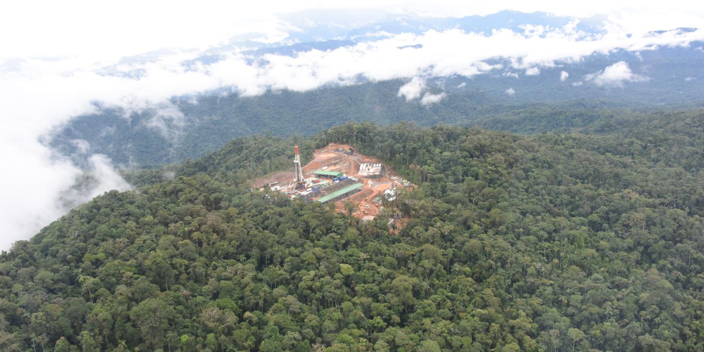
Specifically, our team is studying the impacts of natural gas exploration on biodiversity. In June 2014, a natural gas company began exploration in an area that was denominated a Reserve after the concession to explore was granted. The company built an exploratory well, only accessible by helicopter with no access roads. This approach is known as the inland-offshore model. This type of well was constructed because roads can be extremely damaging to forests by fragmenting them and facilitating access for colonization.
Comprehensive studies of this scale on the fossil fuel exploratory drilling process are unprecedented. Having an understanding of the effects of anthropogenic disturbances—including impacts of natural gas exploration activities—is vital to developing methods and policy to avoid and mitigate impacts on wildlife. Our results are providing valuable information to researchers, local residents, governments, hydrocarbon companies and other stakeholders.
How did you study the impacts on biodiversity?
Between June 2014 and July 2016, we monitored the wildlife response during each phase of the operation, from construction to drilling and exploration, to the closing of the site and the reforestation of the 15-acre plot. Over the two-year period, we documented the way wildlife—including mammals, amphibians, forest understory birds, dung beetles, parasitic wasps and herbaceous vegetation—was affected by the drilling activity. We monitored these groups by gathering data on their abundance and diversity at different times during the drilling process and at increasing distances from the impact site.
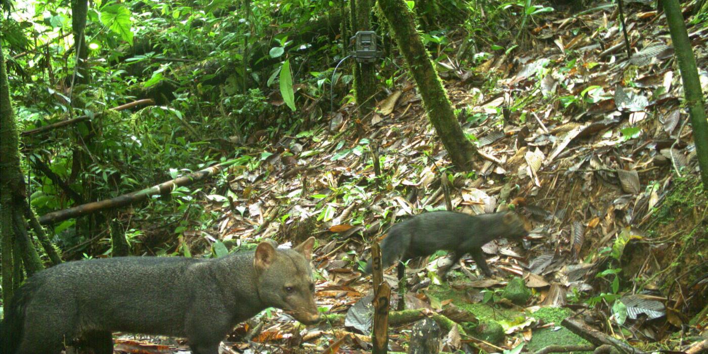
Traditionally, researchers monitor an area by looking and listening for animals. While these methods are invaluable, the downside, of course, is that a person can only stand in one place for so long. For this study, we used two techniques to get around this limitation: camera traps, to monitor mammals, and a technique called passive acoustic monitoring (PAM) to study animals that sing or call (like birds and frogs). For camera traps, we put them up at the beginning of the study and they remained for 2 years until the end. For PAM, we placed recording devices at each new phase of the operation to measure the acoustic landscape, or “soundscape,” for two weeks at a time to evaluate changes in the area over time.
PAM has been used extensively to evaluate the impact of seismic exploration on whales and dolphins. However, ours is the first study that used soundscape to determine how exploration activities affected the vocalizations of an entire area—not just a few select species.
How are local communities helping?
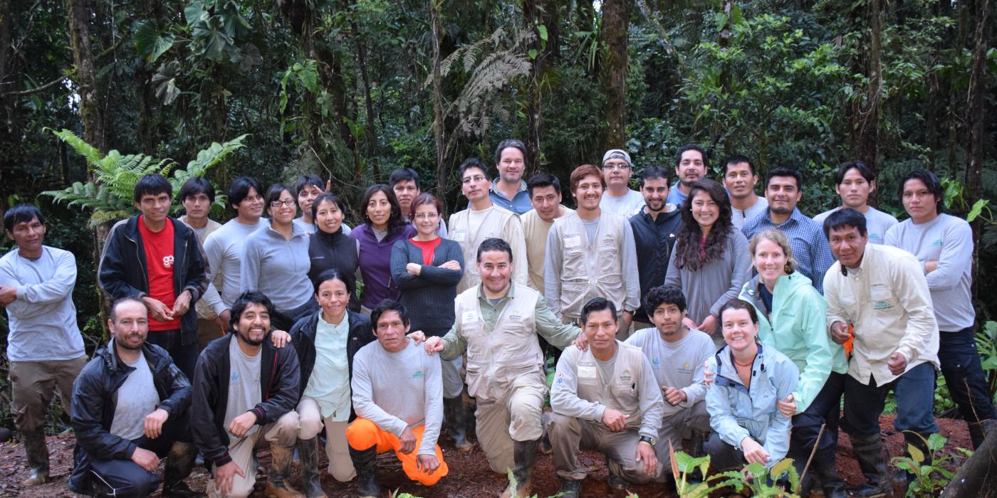
The local community members, who form a vital part of our research team, are from the Harakmbut, Yine and Matsigenka indigenous communities surrounding the Amarakaeri Communal Reserve. Because they live in the area, these community members tend to know more about the forest and the wildlife than anyone else on the research team. We share stories and knowledge throughout the day as we walk through the forest doing our research, and it’s great to be able to learn from each other.
How do you analyze the data collected?
Our data analysis is looking at how the distribution and diversity of animals and plants changed over the course of the exploration process. We are also looking at how changes in distribution were different closer to and farther from the impact site. We expect some species to react more strongly to the impact and others to be less affected.
Passive acoustic monitoring should provide interesting data on the entire community of vocalizing animals. This method, as well as camera trapping, offers a way to collect vast amounts of data over a continuous period of time, and it provides a permanent record of the soundscape. We use software that conducts automated species detection to tell us where and when a species appears in a recording. With this data, we are also looking to document changes over time and distance from the impact.
What have you learned about biodiversity in the Amarakaeri Communal Reserve?
Because there were so few studies performed in the Reserve before ours, we have been able to make a significant contribution to what is known about the area. For example, the lists of amphibian and plant species documented for the Reserve have grown by more than five times because of our research.
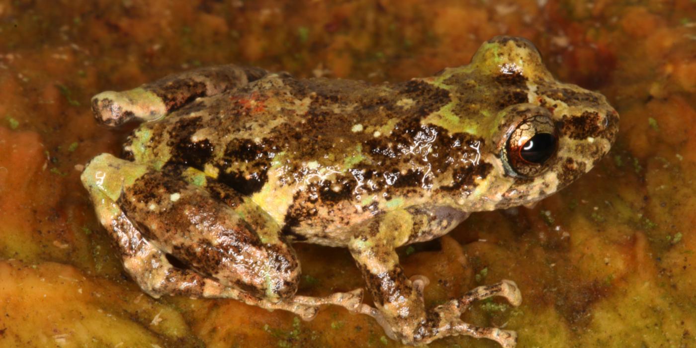
Our research found at least six new or undescribed amphibian species, and we documented more than 270 species of birds. We also recorded information about a number of poorly known species, including Oreobates amarakaeri, a frog that shares its name with the Reserve.
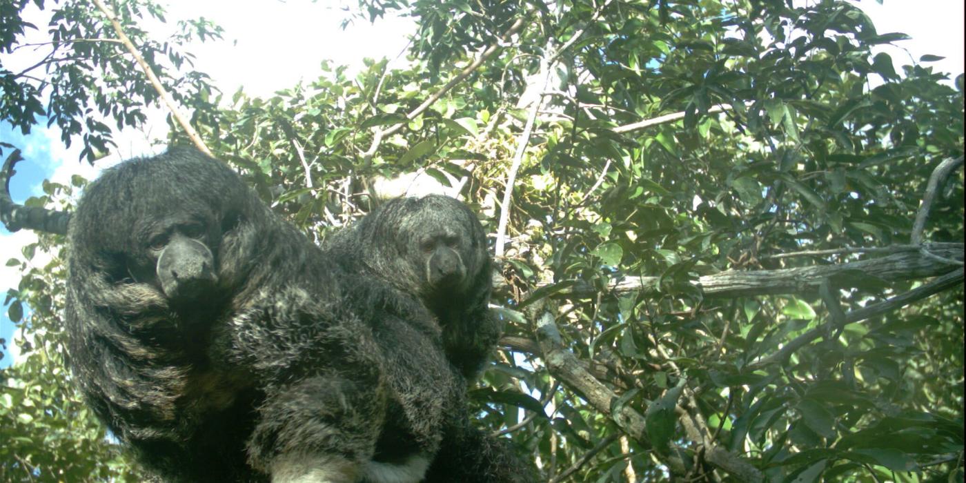
Our large mammals project—which used camera traps to collect data continuously over the last two years—documented several rare species, such as the Andean bear, the giant armadillo, the short-eared dog, the bush dog and the grison. With over a quarter of a million images of mammals at a wide range of distances, we are able to look at how their distribution changed over time.
With two years’ worth of data over all stages of exploration, we will be able to have an in-depth understanding of how plants and animals respond to the impact. Right now, we are in the process of analyzing and publishing the data.
So far, our data suggests that while many species are deterred by the impact and move away, others may capitalize on the reduced competition near the impact site, moving in to the vacated area.
Our results will be shared with the scientific community, the Peruvian government and the hydrocarbon industry to strengthen best practices aimed at avoiding and mitigating impacts.
This study was recently published in the March 2016 issue of Ecological Indicators. Additional researchers are Smithsonian Conservation Biology Institute scientists Sulema Castro and Alfonso Alonso.


